Connectivity is productivity, and the Maryland National Capital Region has the capacity to move you. Whether you want to travel locally or around the world, via the fast lane or fiber network, our East Coast location gets you exactly where you need to go.
Location
With Washington, D.C., Northern Virginia and Baltimore as neighbors, key decision-makers, federal agencies and higher education partners are on our doorstep. Located halfway between Boston and Atlanta, more than 1/3 of the U.S. population is within a day’s drive.
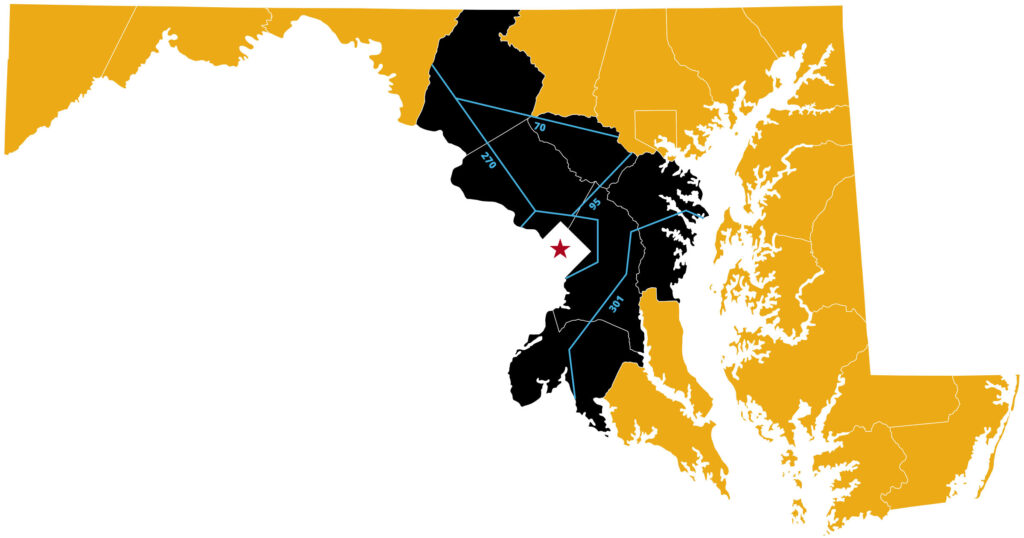
By Highway
Our region allows for quick access up and down the East Coast. Key interstates include:
- I-95
- I-495
- I-695
- I-295
- I-70
- I-270
By Rail
The Maryland National Capital Region offers seamless rail access to U.S. destinations. Amtrak passenger service via the Baltimore/Washington International – Thurgood Marshall Airport (BWI) connects Baltimore and Washington, D.C. CSX and Norfolk Southern supply rail-based freight service in our region.
By Air
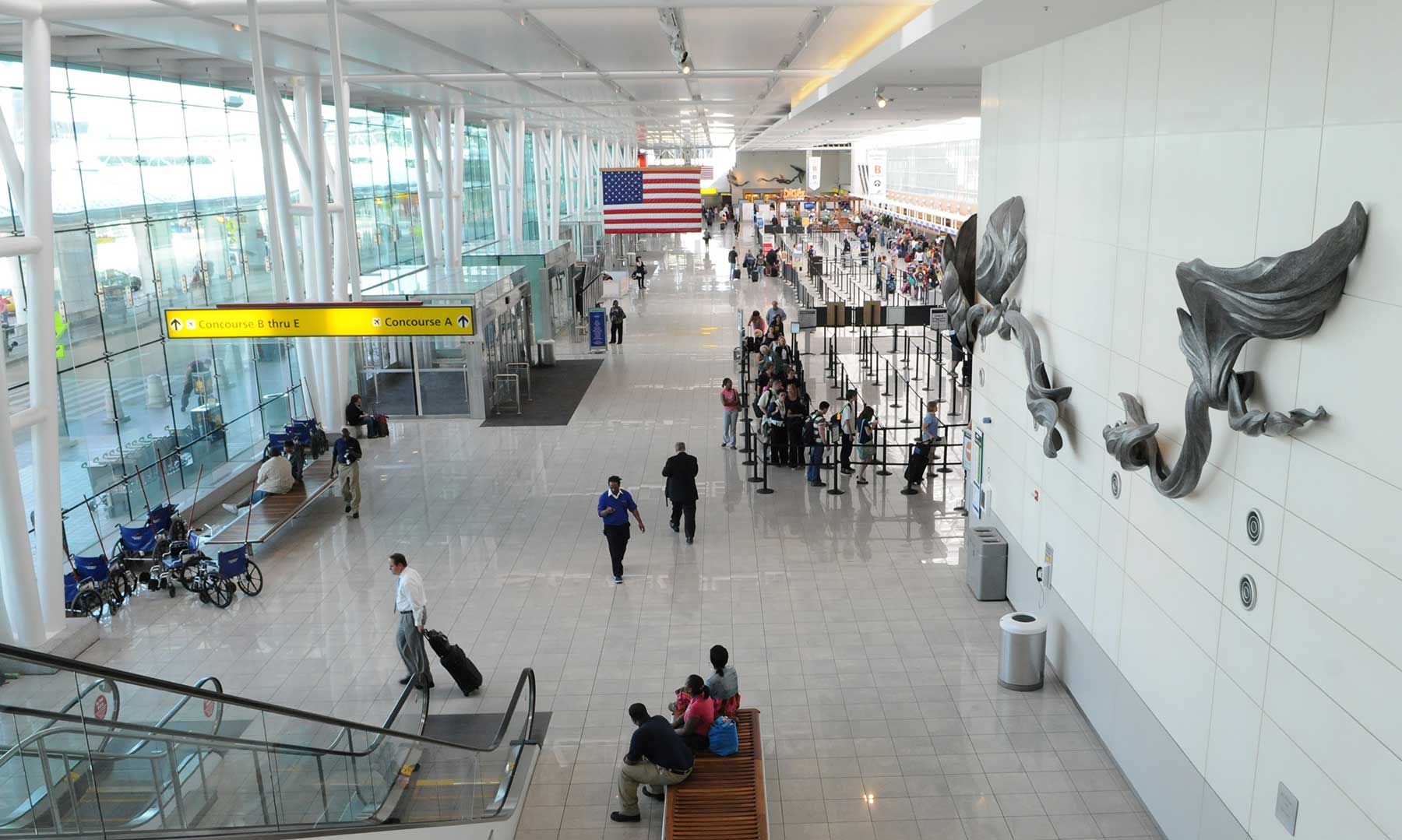
Three international airports place any destination in easy reach:
- Baltimore/Washington International – Thurgood Marshall Airport (BWI), servicing 18,868,429 travelers in 2021
- Dulles International Airport (IAD), servicing 15,511,111 travelers in 2021
- Ronald Reagan Washington National Airport (DCA), servicing 14,909,722 travelers in 2021
By Water
The Maryland National Capital Region offers proximity to the Port of Baltimore, one of the leading ports in the country for cargo tonnage. A dynamic foreign-trade zone, the Port of Baltimore is the closest deep-water port to the Midwest. The port is served by two major railways and offers quick access to interstates.
Transit
We’re committed to offering convenient, affordable and green transit options throughout the region. Transit-oriented development projects and smart transit systems are enhancing the customer experience in real time. Broad access to public transportation, commerce and opportunities benefit all. Multi-billion-dollar investments are underway throughout our region.
Pedestrian:
Pedestrian-focused networks of streets, bikeways, trails and paths allow people to travel safely and freely within our communities.
Commuter Rail:
Subway:
Bus:
Bikeshare:
Rideshare:
Technology Infrastructure
Fiber
From teleworking to telehealth, data transmission to distance learning, strong technology infrastructure is vital to our businesses, citizens and public services. Ongoing technology investments keep us agile on a global scale. A high-speed fiber network is available—and growing—within our region. Explore connectivity state and community-wide:
- Maryland Office of State Broadband
- Broadband Now
- FiberNet
- UltraMontgomery Fiber Connectivity
- Prince George’s County INet
Cellular Coverage
We enjoy expansive coverage from all four major wireless carriers, including Verizon, AT&T, Sprint and T-Mobile.